NDIA employing technology to improve drainage and irrigation
WITH the significant role the National Drainage and Irrigation Authority (NDIA) plays in the agriculture sector and a wider cross-section of society, it is now implementing the use of technology in its day-to-day groundwork.
The NDIA is one of Guyana’s apex organisations which manages, maintains and improves drainage and irrigation at the national level. The Authority also plays a pivotal role in the country’s water resources.
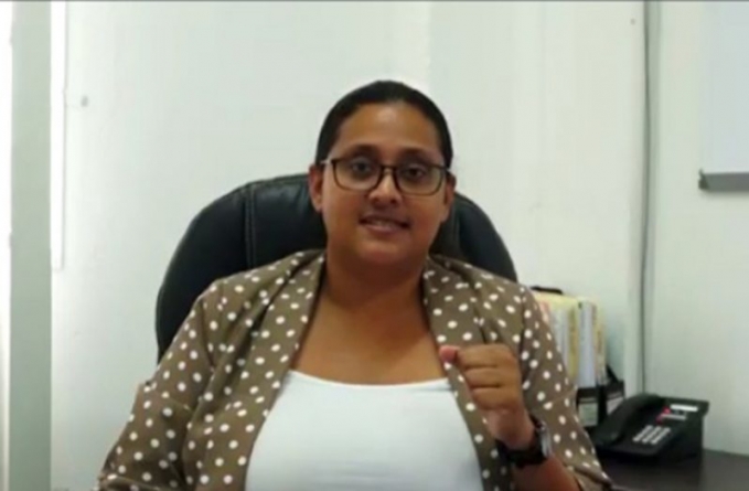
According to Crystal Conway, Geographic information Systems (GIS) Engineer at the NDIA, over the years, the organisation has evolved from its total dependence on machinery and manpower.
These days, the organisation uses GIS, project management, drones and other forms of computer science technology to fullfill its mandate.
She explained that the NDIA has to manage and monitor every square inch of Guyana’s waterways, which cannot be done efficiently manually, hence the organisation makes use of GIS and drones to collect data.
Conway further explained that GIS is just another ‘fancy’ way of mapping.
“Most paper maps are static; they are a snapshot in time,” she said. “We are geo-mapping many things, and you want to be able to change what’s important to you, because today you might be more interested in kokers, and tomorrow you might be interested in pumps. Having your map available in layers gives you that flexibility, and it lets you do all kinds of data analytics and modeling. GIS is basically the science of mapping all of that geographic information.”
She noted that with this technology, the Agency has managed to capture thousands of kilometers of canals, and hundreds of structures; the NDIA plans to do much more, she said.
“[We] began to embrace technology not just in the engineering works, but in everything that we do. Today, we use GIS to map the network. We also focus more on design; we use structural and geo-technical design in our work here,” she said, adding, “We found that monitoring and just evaluating the work that is being done by eye is not good enough, so we need to be able to measure.
“We also need to be able to do it in a more efficient manner, so we have folded drones into our operations, and we’re exploring new approaches to older problems.”
Conway said that the incorporation of technology has proven to be a successful addition to the NDIA’s workforce, since engineers are able to better monitor water resources, as well as respond to emergencies.
“The impact with all this technology on our work-flow is visible in many areas, so we have been able to respond to emergencies faster; we have also seen a change in the way we do business as well. The use of technology has helped us to process contracts, payments a lot of things go faster, and data collection goes faster.”
Moving ahead, the NDIA will continue its incorporation of technology and will provide continuous training of staff in this area.
“As the Agency looks forward, we don’t want to stop this embrace of technology; we want it to continue; we want to continue our capacity building, and many of the staff here has realised that further professional development is important, and a lot of them by their own initiative are furthering their studies in engineering.”
She added that the agency also sees the value of staff, and is currently funding remote training in integrated water resources management, project management, monitoring and evaluation, as well as GIS.


